Acquiring signal…
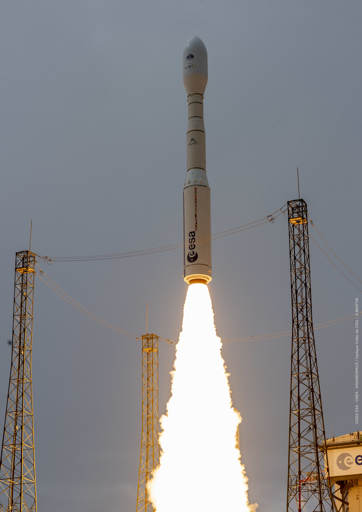
© ESA/CNES/Arianespace/Optique vidéo du CSG–S. Martin
ArianespaceVega-C
CO3D & MicroCarb
Success
T-minus to liftoff
-
00
HOURS
:
00
MINUTES
:
00
SECONDS
Saturday July 26 2025, 02:03:48 UTC
StatusSuccess
VehicleVega-C
OrbitSun-Synchronous Orbit
PadAriane Launch Area 1 (ELV)
Loading map…
Mission
CO3D is a CNES-Airbus Defence & Space constellation of four small satellites designed to map the globe in 3D from low Earth to serve public and private sector needs. Microcarb is a small satellite designed to map sources and sinks of carbon dioxide (CO2)—the most important greenhouse gas — on a global scale.
Quick facts
VehicleVega-C
OrbitSun-Synchronous Orbit
PadAriane Launch Area 1 (ELV)
SiteGuiana Space Centre, French Guiana
WindowSaturday July 26 2025, 02:03:48 UTC→Saturday July 26 2025, 02:03:48 UTC
Vehicle
FamilyVega