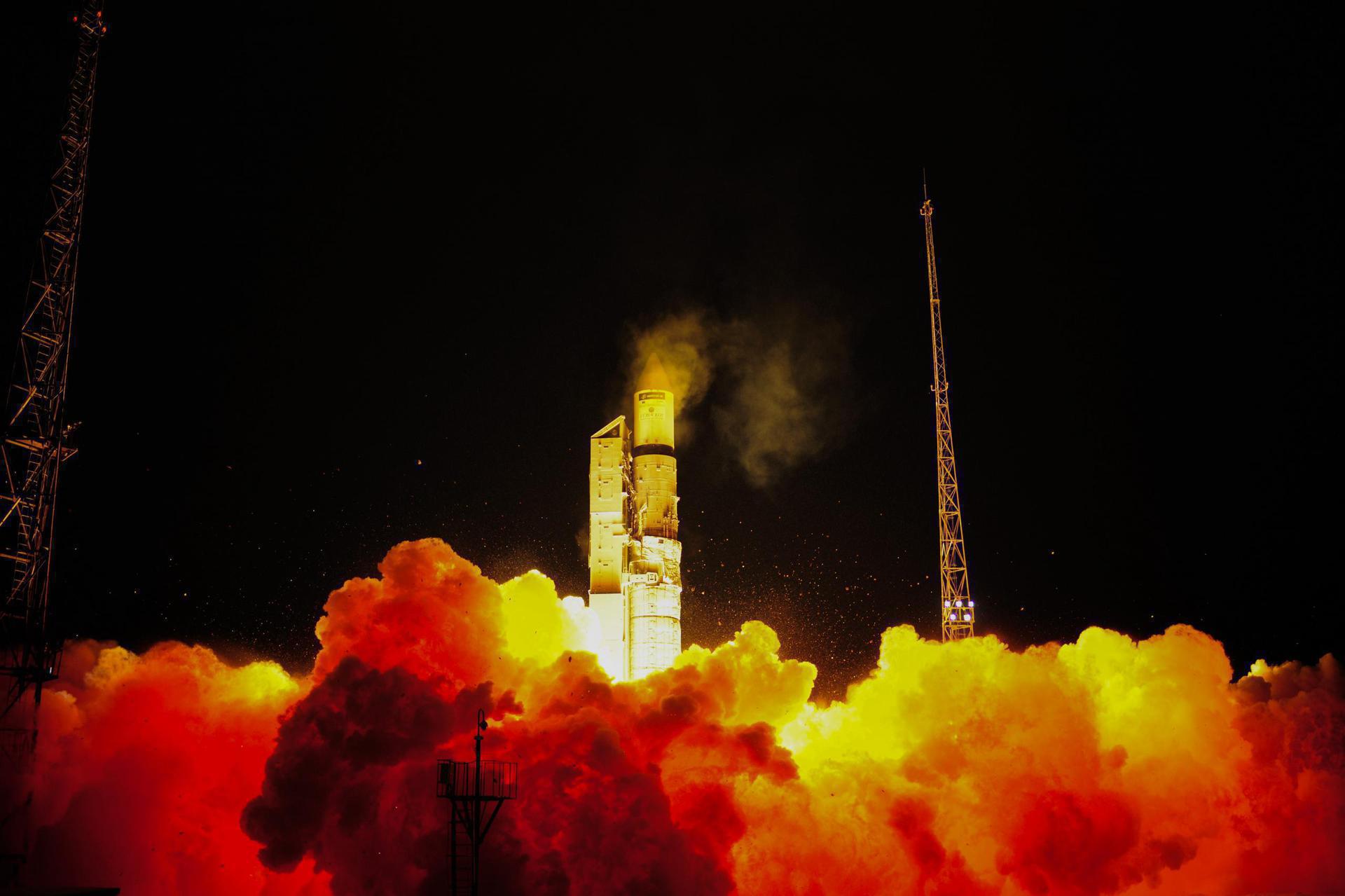
© ESA/Stephane Corvaja
Russian Space ForcesRokot/Briz-KM
Geo-IK-2 N13L (Kosmos 2540)
Success
T-minus to liftoff
-
00
HOURS
:
00
MINUTES
:
00
SECONDS
Aug 30, 14:00:14 UTC
StatusSuccess
VehicleRokot/Briz-KM
OrbitPolar Orbit
Pad133/3 (133L)
Loading map…
Mission
Geo-IK-2 is a Russian geodesy mission to deliver precise three-dimensional maps of the Earth’s surface and gravitational data for use in scientific studies and military applications. Using GLONASS for accurate positioning data, the 1400kg satellite will operate in a 1000km polar orbit.
Quick facts
VehicleRokot/Briz-KM
OrbitPolar Orbit
Pad133/3 (133L)
SitePlesetsk Cosmodrome, Russian Federation
WindowAug 30, 13:45:00 UTC→Aug 30, 14:45:00 UTC
Vehicle
FamilyRokot