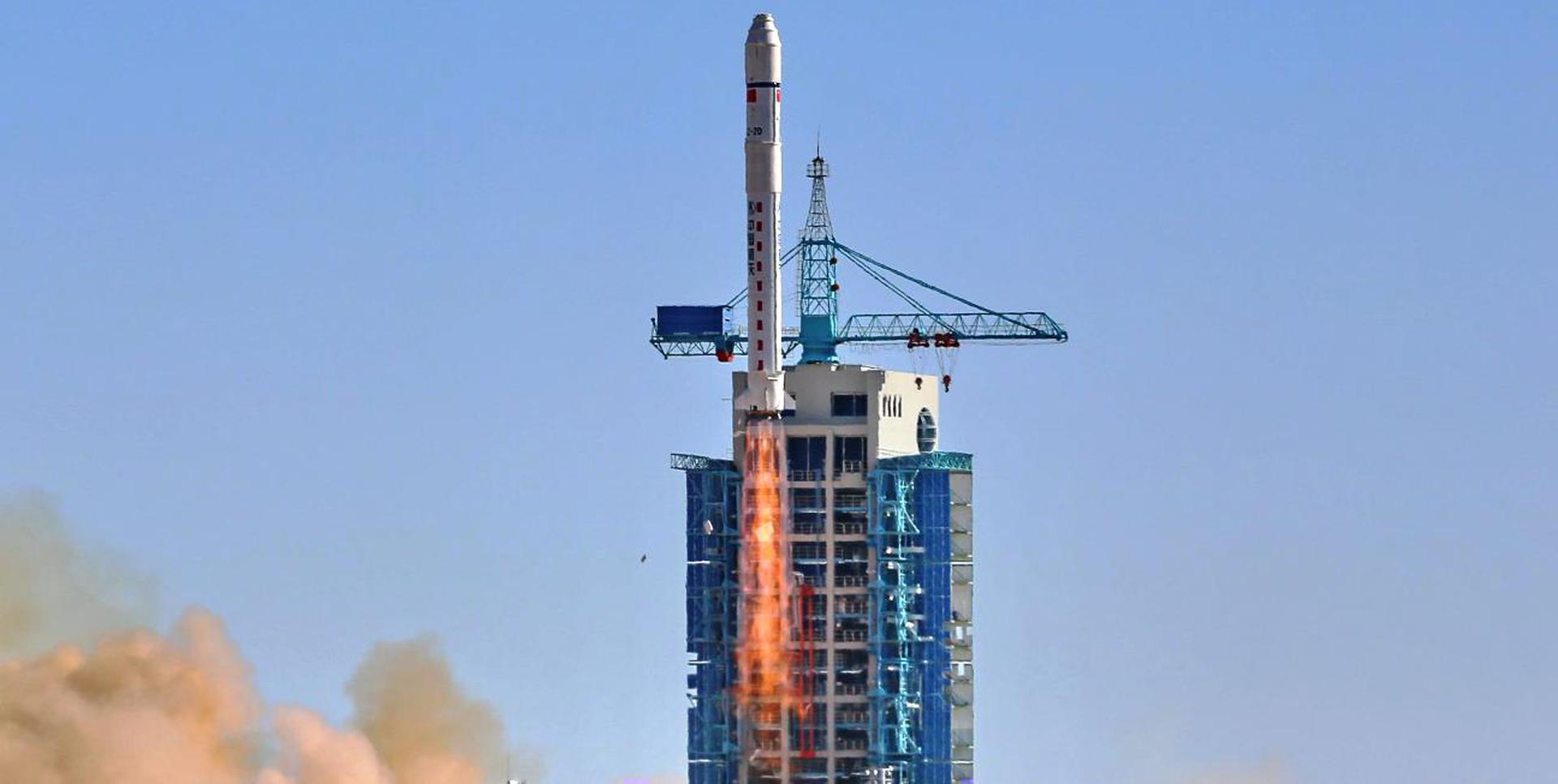
T-minus to liftoff
-
00
HOURS
:
00
MINUTES
:
00
SECONDS
Jul 29, 04:01:00 UTC
StatusSuccess
VehicleLong March 2D
OrbitSun-Synchronous Orbit
PadLaunch Area 94 (SLS-2 / 603)
Loading map…
Mission
TH 1 (Tianhui-1 = "Sky drawing") is a Chinese stereo-topographic mapping satellite operated by the People’s Liberation Army (PLA). The satellites are built by the Hangtian Dongfanghong Weixing Corporation and the China Aerospace Science and Technology Corporation and the Chinese Academy of Space Technology (CAST). The satellites operate on a 500 km circular sun synchronous orbit. Electrical power is provided by two deployable solar panels that is stored on onboard batteries. They are equipped with a three-dimensional survey camera and a CCD camera with a ground resolution of 5 meters, spectral region of 0.51 µm to 0.69 µm and with a camera angle of 25 degrees. Also on board is a multi-spectral camera with a ground resolution of 10 meters operating in four spectral bands of 0.43 µm to 0.52 µm, 0.52 µm to 0.61 µm, 0.61 µm to 0.69 µm, and 0.76 µm to 0.90 µm. The swath width of the cameras is 60 kilometers wide.
Quick facts
VehicleLong March 2D
OrbitSun-Synchronous Orbit
PadLaunch Area 94 (SLS-2 / 603)
SiteJiuquan Satellite Launch Center, People's Republic of China
WindowJul 29, 03:45:00 UTC→Jul 29, 04:21:00 UTC
Vehicle
FamilyLong March