Acquiring signal…
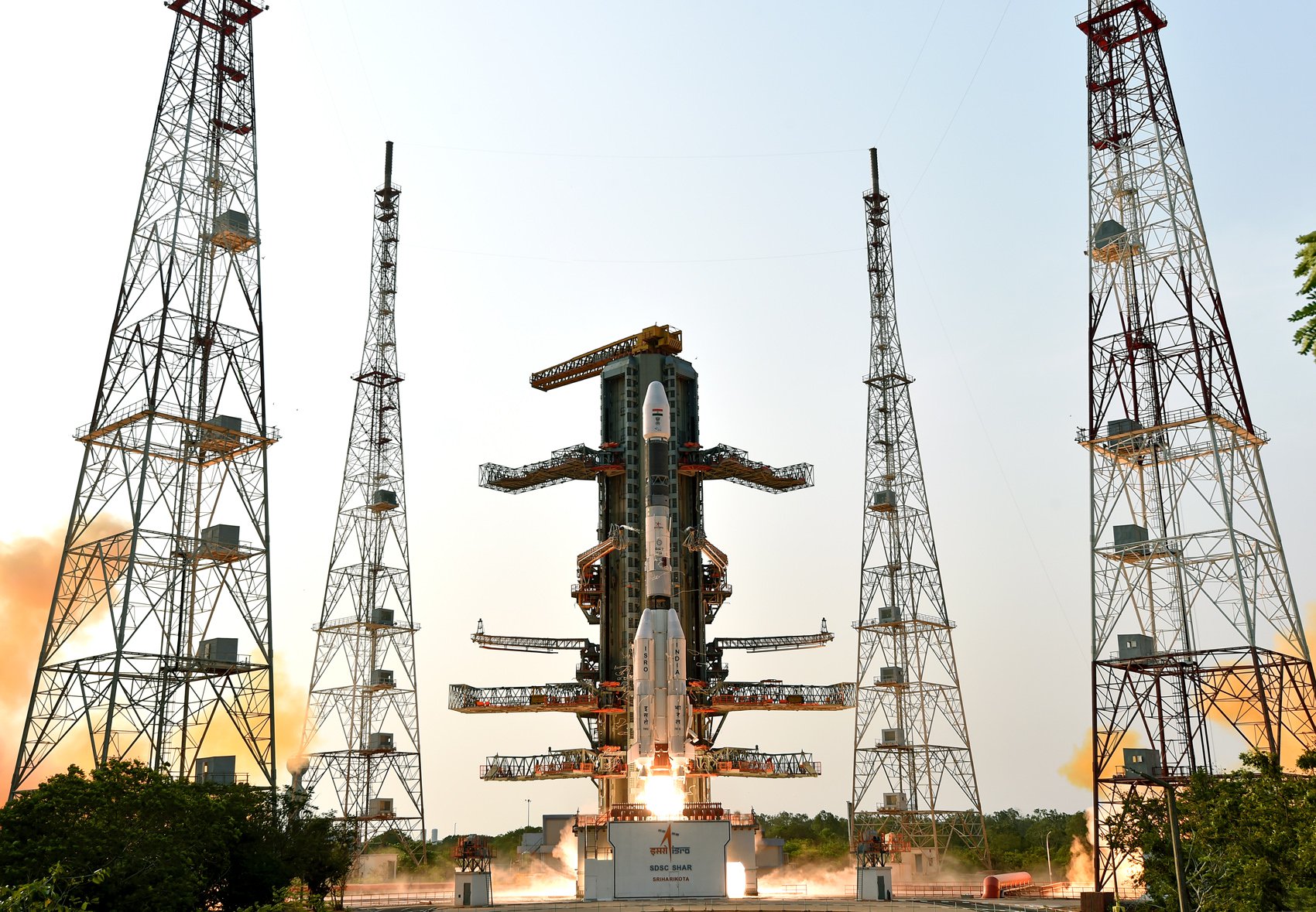
Indian Space Research OrganizationGSLV Mk. II
NISAR (NASA-ISRO Synthetic Aperture Radar)
Success
T-minus to liftoff
-
00
HOURS
:
00
MINUTES
:
00
SECONDS
Wednesday July 30 2025, 12:10:00 UTC
StatusSuccess
VehicleGSLV Mk. II
OrbitSun-Synchronous Orbit
PadSatish Dhawan Space Centre Second Launch Pad
Loading map…
Mission
The NASA-ISRO Synthetic Aperture Radar, or NISAR satellite, will use advanced radar imaging to map the elevation of Earth's land and ice masses 4 to 6 times a month at resolutions of 5 to 10 meters. It is designed to observe and measure some of the planet's most complex natural processes, including ecosystem disturbances, ice-sheet collapse, and natural hazards such as earthquakes, tsunamis, volcanoes and landslides. Under the terms of the agreement, NASA will provide the mission's L band synthetic aperture radar (SAR), a high-rate telecommunication subsystem for scientific data, GPS receivers, a solid-state recorder, and a payload data subsystem. ISRO will provide the satellite bus, an S band synthetic aperture radar, the launch vehicle, and associated launch services.
Quick facts
VehicleGSLV Mk. II
OrbitSun-Synchronous Orbit
PadSatish Dhawan Space Centre Second Launch Pad
SiteSatish Dhawan Space Centre, India
WindowWednesday July 30 2025, 12:10:00 UTC→Wednesday July 30 2025, 12:10:00 UTC
Vehicle
FamilyGSLV