T-minus to liftoff
-
00
HOURS
:
00
MINUTES
:
00
SECONDS
Dec 16, 11:46:47 UTC
StatusSuccess
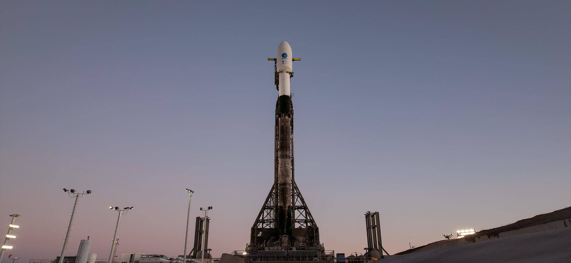
VehicleFalcon 9 Block 5
OrbitLow Earth Orbit
PadSpace Launch Complex 4E
Loading map…
Mission
Satellite altimeter jointly developed by NASA and CNES, the French space agency, in partnership with the Canadian Space Agency (CSA) and UK Space Agency (UKSA) designed to make the first global survey of the Earth's surface water, to observe the fine details of the ocean surface topography, and to measure how terrestrial surface water bodies change over time.
Quick facts
VehicleFalcon 9 Block 5
OrbitLow Earth Orbit
PadSpace Launch Complex 4E
SiteVandenberg SFB, CA, USA
WindowDec 16, 11:46:47 UTC→Dec 16, 11:56:47 UTC
Vehicle
FamilyFalcon
Height70 m
Diameter3.65 m
Stages2
ReusableYes
LEO capacity22,800 kg
Track record606/607 successful
Landings593/598